map war

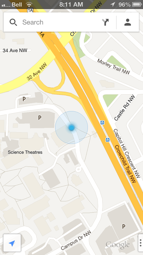
A quick test, to compare Apple’s Maps app from iOS6 with the new Google Maps iOS app that was released today. All screenshots are roughly centred on the same spot around my office on the UofC campus, taken on a godphone 5.

normal map view. Apple iOS Maps on left, Google iOS Maps on right…

IMG 8852IMG 8851

satellite view, Apple iOS Maps on left, Google iOS Maps on right…
IMG 8853IMG 8855

3D view, Apple iOS Maps on left, Google iOS Maps on right…

IMG 8854IMG 8856

Street View, Apple iOS Maps on left, Google iOS Maps on right…

AppleMapsStreetViewIMG 8857

campus in 3D

I hadn’t taken a look at Google Earth for a while, but as I was adding a map to our department website, I noticed the “earth” button on maps.google.com – I clicked it, and got [a nice 3D view of campus](http://maps.google.ca/maps?f=q&source=s_q&hl=en&geocode=&q=University+of+Calgary,+Calgary,+Alberta&sll=49.891235,-97.15369&sspn=45.536678,109.775391&ie=UTF8&hq=University+Of+Calgary&hnear=University+Of+Calgary,+Calgary,+Alberta+T2N+1N4&ll=51.080153,-114.132461&spn=0.001491,0.004372&t=f&z=19&ecpose=51.08140626,-114.13433575,1146.33,136.785,80.987,0). And had a pleasant surprise – someone had started creating 3D models of buildings on campus. Only a handful are there now, but I’m sure the whole campus will eventually be 3D-ified. Someone’s been busy building models for downtown, as well (including cranes on the top of The Bow).

Screen shot 2010-09-24 at 11.12.56 AM.png