I just saw this amazing tool mentioned on BikeCalgary – an interactive map that lets you plot your bike commute route and then display bike-related incidents (I won’t call them accidents, because they’re not).
Turns out, my commuting route has only had 2 reported incidents in the last several years – both on a narrow stretch that causes me constant grief with drivers thinking they need to pass me even though it’s not safe to do so.

I had to fuss around with the map’s route plotting, because it doesn’t grok the pathway-road hybrid route. I don’t drive all wiggly like that, but I had to trick the map into getting the intersections I use…
Route mapping tools are available for Calgary, Vancouver, Toronto, Ottawa, Montreal and Halifax.
Update: I just realized there may be holes in the data – a friend of mine was hit while riding his bike at one of the major intersections on my route, but that doesn’t show up here. Not sure exactly where this data comes from – he was rushed to the hospital by ambulance, so there would be some record of the incident… (and his GPS tracker congratulated him on the record speed he got for his ride, as he was in the back of the ambulance…)
And, of course, these are just the reported incidents of injuries. There are several orders of magnitude more close calls that never get reported or recorded…
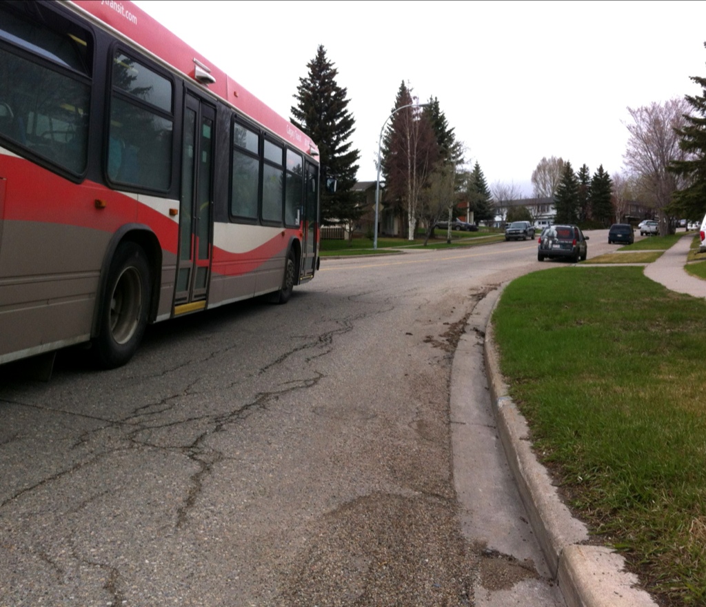
Update 2: Here’s a photo of that stretch of road. Doesn’t look dangerous, but it’s narrow, on a hill, with a corner at the bottom. Poor visibility, solid yellow line. Cars parked on both sides of the road. Often with big city buses coming in both directions as I come through here – they get to squeeze by. It’s a tight fit. Scary.